| Imagine yourself taking a
float trip down Glen Canyon as it was. Start here, and click on the
downstream links at the bottom of each page. (There's an exploratory
excursion at the Escalante River.)
Then imagine what it would
be like to do it again sometime in the future. The reservoir, like
any natural lake, is a temporary bottleneck in the flow of water from clouds
to ocean. Glen Canyon has dammed up naturally in the past, and Nature
has always removed the dams. But such events
occur in geological time, and human knowledge of such things tends to be
limited to human scales |
| 1962 White Canyon, a little upstream from Hite. The little sand bar where the stream enters the Colorado was our campsite while we waited for the shuttle to return, and it's the put-in point for float trips from Hite. |
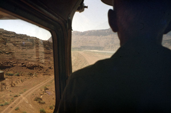
| Landing at the White Canyon airstrip. The car shuttle involves driving all the cars from Hite to Crossing of the Fathers, that's about 300 miles over mostly gravel or dirt roads in earlier days, then using one car to drive all the drivers to the Page Airport where we charter a plane to take us back to Hite where our boats and gear are waiting for us. |
| Mile 162.6 Hite, Utah, at the ferry, looking downstream. |
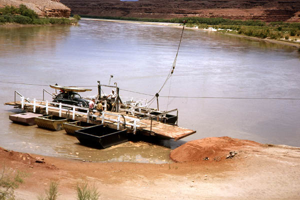
| The Hite ferry, landing on the left bank. |

| The hand-crank phone for the ferryman.
Picture by
Slyvia Tone
|
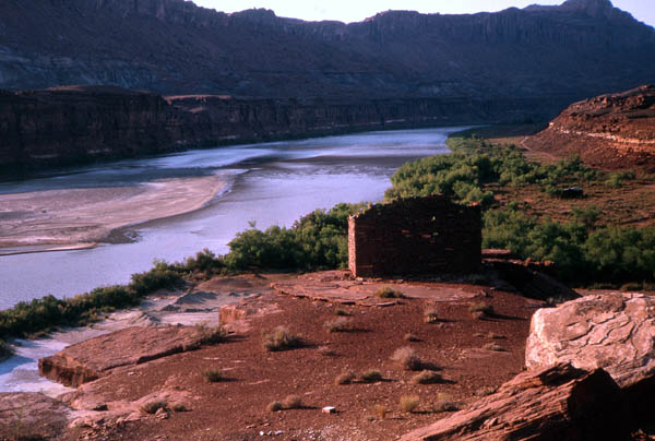
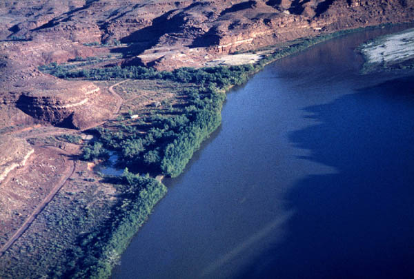
| Mile 162.6 Looking upstream from a flat overlooking the mouth of White Canyon. |
| Mile 160.1 Traychite Rapids. The first "rapids" below Hite |