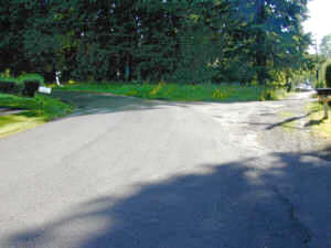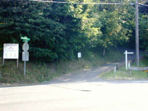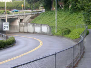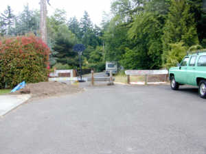
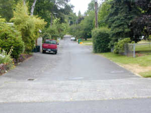
Look east into Multnomah Co (from Washington Co) onto SW 62nd Dr.
|
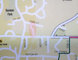
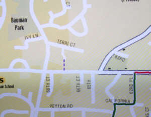
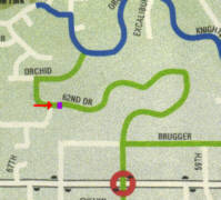 Error 25. SW 62nd Dr at county line. Should have a dot of purple on the map.
|
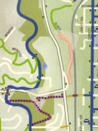
| Error 34. Slavin Rd is shown extending all the way
past the concrete barricades up to the little bridge at the Capitol Highway
overpass over Barbur. The street is only sort of there. It's
been a bit bulldozed up a bit and then allow to get overgrown by blackberries
and trees. It is impassible (except with machete and chain
saw). The pink part probably should not be shown at all, and certainly
not as a drivable street.
I put in the trail correction in Himes park since it's also on the map. Error # 24. The map had some masking tape on it when I scanned the image. Sorry. |
|
No. 36. This street extends east of Idaho between Idaho Terr and Vermont. (It's sort of a alley but it is used like a street.) |

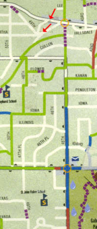
The red arrows show where the pictures were taken. |
