The Mormon settlers' route east, across the Colorado River and Plateau
mile 84.4
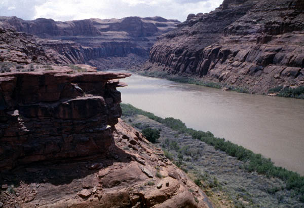

| Looking upstream from part way down the Hole in the Rock route. |
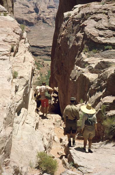
| June, 1961 Twelve people
starting down the Mormon Hole in the Rock route -- their introduction to
the sublime, the spectacular, the irreplacable Glen Canyon. (There
was a thirteenth in the party but he had to leave us back at the end of
our trip down the Narrows of Zion to take his bar exams in Colorado.
He passed the exams, soon got elected to the state legislature, and later
became governor.)
More about this trip HERE and HERE. |
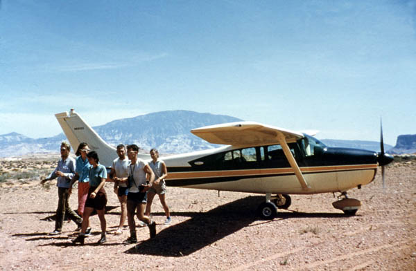
| June, 1961 Hole in the Rock
airstrip. Two of our twelve are missing, having gotten lost coming
out of the Escalante the day before. One of Page Aviation's planes
was patrolling the area with a pilot and a park ranger. I accompanied
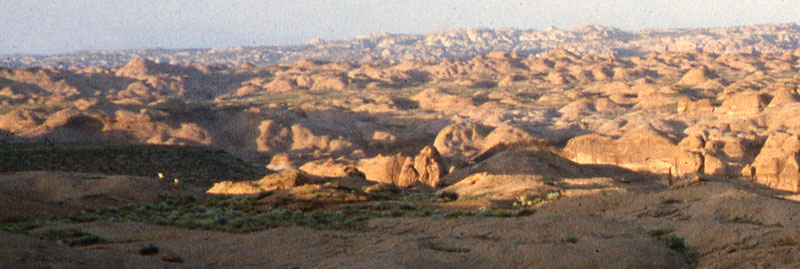
them on a search flight. (The aerial photos taken in
1961 were taken on that flight.) Here we have just landed
after our search. More about what happened HERE.
The following year we started chartering that same plane -- and often had the same pilot. |
 |
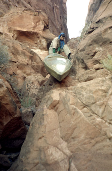
| Keturah maneuvering her kayak down the
Hole in the Rock route used by the early Mormons to cross the Colorado.
(They ended up establishing the town of Bluff, Utah.)
Because most of the most spectacular canyons of Glen were between Hole in the Rock and Crossing of the Fathers, we sometimes chose to put in at Hole in the Rock. |
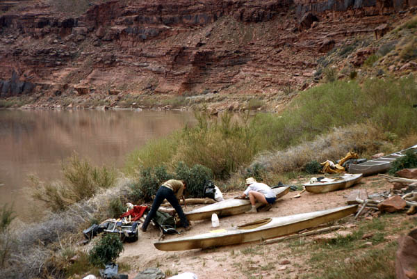
| April 1963 Bottom of the settlers' Hole in the Rock route. Preparing the boats for the trip from here to Crossing of the Fathers. |
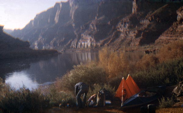
| Decmeber 1962 Same place as above, but now there's frost on everything in the morning.. |
Go to the settlers' road on the left bank