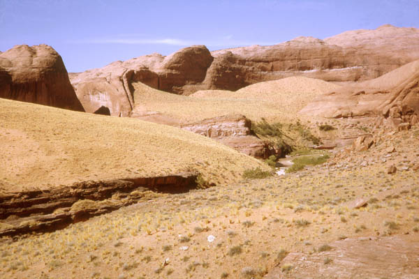
from the hole in the rock road near the airstrip


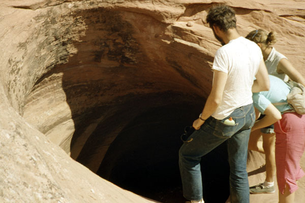
| June, 1961 A swirl hole above the
gauging station (This might still exist.)
John Faust,
Chris Suzeck & Cy Benton
|

| Sept, 1962 The gauging station route seen from a bank above the Escalante River. It's that ledge near the left edge of the photo, and we are looking directly up the route. See the photo below. |

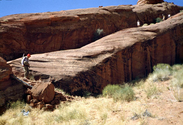
| On the route from the Hole in the Rock
road to the gauging station. This is one of the few places a walker
can get down the cliffs into the Escalante Canyon. There was a skeleton
of a horse just below those walkers higher up. From the bottom of
this rock ledge trail it's a short walk down the sand and slickrock to
the Escalante River and the gauging station.
Left
to right: Art Knobel, Jim ?, Henri Benoit & John Faust
|

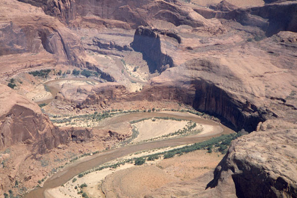
| Escalante Canyon near the gauging station. |
Lower
Escalante RIver
Clear
Creek
(Cathedral in the Desert)
Davis Gulch
Soda
Gulch
(Gregory Natural Bridge)
Hole in the Rock
(Continuing down the Colorado)