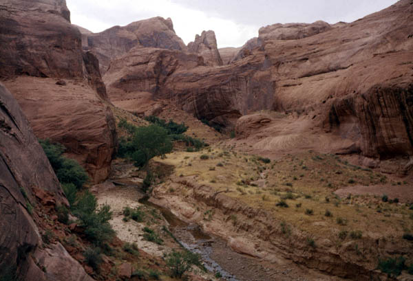
Soda Gulch
| Our first view of Gregory Natural Bridge as we hike up from the Escalante River |
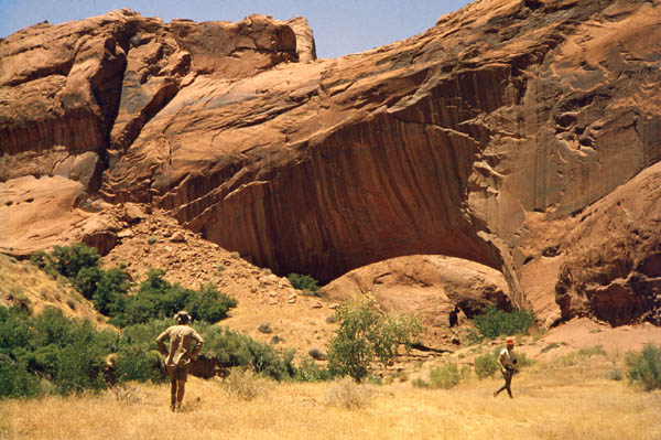
| It's the second largest natural bridge in the U.S. Only Rainbow Bridge is larger. |
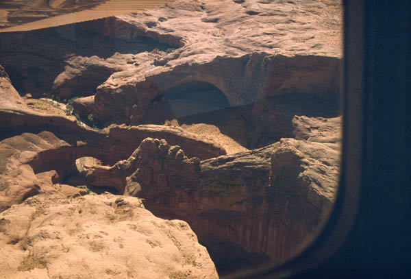
| From the air looking downstream |
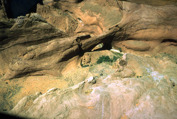
| From the air looking upstream. The old
stream meander that made the opportunity for a bridge to form is clearly
visible. The easy breaking through of the thin ridge is easily visualized.
It would be many millennia before this sturdy bridge would collapse.
Something else would eliminate this magnificient structure. In the early 1960's road maps began to show Gregory Bridge up on the plateau above, well away from the waters of future Lake Powell where earlier maps properly showed it. However, the top pool level of Lake Powell, 3710' is well above the top of Gregory Bridge. |