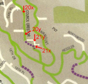
HEY! This is the old
map.
|
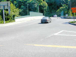
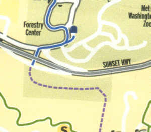
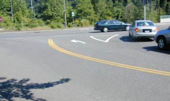
The trail enters the map from the woods to the west of Children's Museum. The last sign is to the east, across the busy street. It points across the freeway bridge.  |
There's the trail sign at the far left. Photo
13b
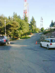
Photo
13d
|
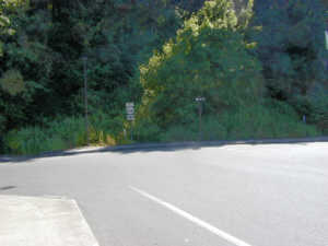
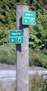 It's the last
directions you get. It's the last
directions you get.
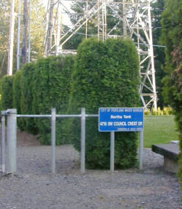
Photo13c
Photo
13e
|