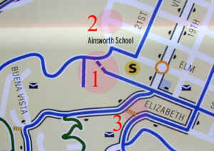
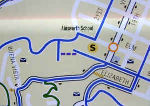
 2. Laurel does not connect to Montgomery. 3. The steps meet Elizabeth at the tangent point. |
More like this. |
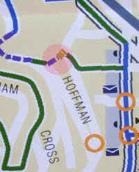
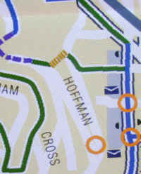
The "Elevator St" stairs are stairs all the way top to bottom. |
 |
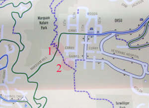 2. On the Walk map, the trail appears to come to 13th. That is wrong and guaranteed to mislead some map users.. |
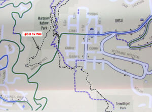
The actual 40-mile trail is shown here in black--the upper 40-mile section has been added--both upper and lower are very high-quality trails, having recently been resurfaced. The alignment shown (from GPS) is probably accurate to within about the width of the drawn line. Note that, at its north end, the alignment of the Marquam Hill-Terwilliger segment is along paper-street ROWs. It goes south on 14th ROW, then east on Lane, and (probably) south on 11th to where it crosses the wooden bridge. |
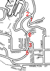
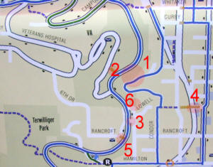 2. The stairs to the VA hospital start where Condor comes up. 3. Only one street connects Hamilton Ter to Terwilliger. 4. The stairs do not cross Barbur. 5. The path turns to the north at the bottom, not to the south. 6. Lowell Lane is opposite Homestead Dr at Terwilliger. The Spanish American War Memorial
is near here.
|
 |
 |
 |
 |
 |
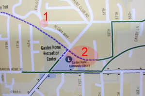 |
This is only a query:
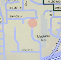
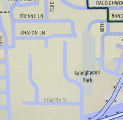
1. No street from the east intersects with Aloma Wy or Firlock from the Hunt Club area. How close does that road come to reaching Aloma Wy? 2. Is this old Oregon Electric RR bed really going to be opened up soon? |
 |
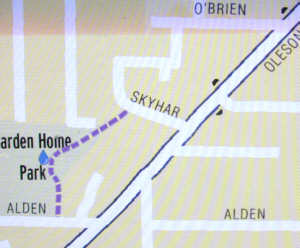
And a drinking fountain! |
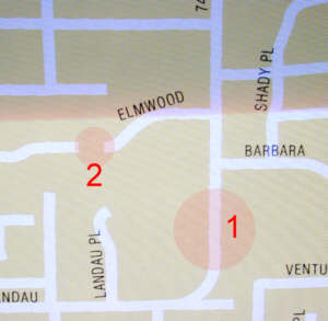 2. A path connects the two Elmwoods (popular with bikes). |
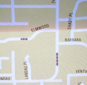 |
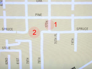 2. There is a well-used trail connecting all the segments of Spruce. |
 |
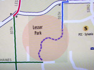
Lesser Park is smaller. (Has it been added to??) |
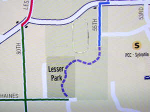
And Haines is shorter and 59th longer. Note the location of PCC's running track. |
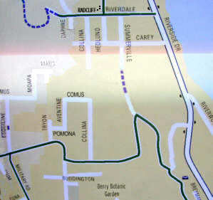
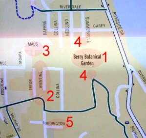 2. Tryon is shown extending too far north. Pomona is missing. 3. Maus seems to exist only as a private driveway. 4. Summerville goes further south of Carey and further north of Palatine Hill Rd. It's connected by a path on the ROW. 5. There is a second street here parallel to and north of Buddington--it goes to the back gate of Berry Botanic Garden. Buddington is shorter than shown. |
 |