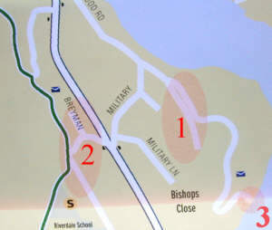
 2. That's Breyman Ct; Breyman is the road in front of the school. 3. Street doesn't go to river. (Can't see river from end of street.) |
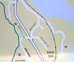
More like this. |
|
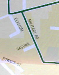
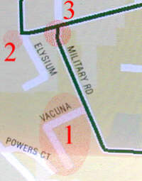 2. Northgate St goes west from here and is marked "Private" only the last half of its length. 3. There is no jiggle in Military Rd. It intersects with Palatine Hill a little to the west of Esquiline Circus. |
 |
|
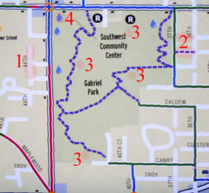 2. The trail is at California. Texas is a street. 3. There are seven outdoor drinking fountains in Gabriel Park 4. This drinking fountain must be inside the Community Center. |
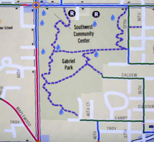
Which trails are shown and which are not is a bit strange. The most important trail in the park, and the most used, is the one from the Tennis Courts on the west to the corner of 37th and Nevada St on the east. A big piece isn't shown. Nor are the other wide, paved, E-W trails in the north part of the park. On the other hand, the trail from the west end of Caldew is little more than a demand path, easily missed from the north if you don't know where to look for it. |
|
 |
 |
|
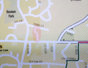 |
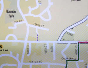 |
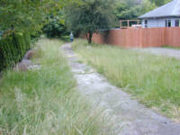
at Terri Ct path |
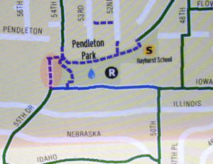 |
 |
|
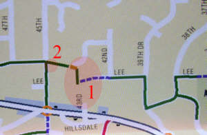 2. The (paved) walk does not intersect with 45th at Julia but rather quite a bit to the south. |
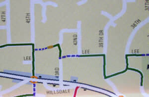
The path is a path, not a street. It's a path from 45th to Admiral Ct at the top of the stairs. |
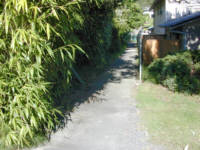
Path to Admiral Ct from SW 45th |
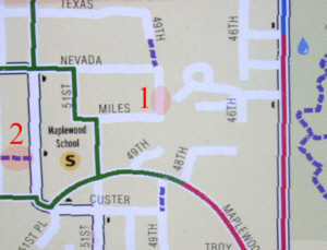 1. SW 49th cannot be driven here, and the current use by the adjacent owners might seem to inhibit pedestrian use, too. I don't know the status of this ROW. 2. This path is a private parking lot for the church and day care center. |
||
 |
 |
|
 |
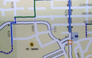 |
|
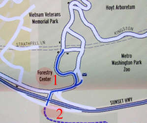 2. This is a place the walker really needs some help from the map. The 40-mile trail goes down the freeway on-ramp and then ducks into the woods and up the slope to the south. This is very UNobvious. |
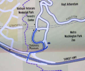
Note the location of the 40-mile trail from Canyon Ct north. This, not the streets into the zoo (etc.) is the choice for most walkers. Wildwood trail starts (mile 0) at the entrance to theVietnam Veterans Mermoial park at Kingston. |
SEE PHOTOS HERE |
 |
. |