|
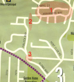
? indicates something that needs checking 3 Numbers in orange indicate questions to be answered. |
? indicates something that needs checking 3 Numbers in orange indicate questions. |
 |
 |
| 1. The
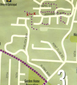
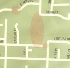
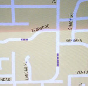
Arranmore development has a system of paved trails.
2. There is a paved trail leading from Oregon Episcopal School to their athletic facilities, which are on a road from Oleson Rd, near Hideaway Park. 3. The road from the Hunt Club area does not extend to Aloma Way. There's a chain link fence and dense foliage separating the two developments . |
A few of the Arranmore paths are shown; there are more.
(Originally, there were paved trails leading from the two streets in the
SW corner of the development and passing through the fence into OES.
Gates were emplaced, and these gates are now usually locked.)
There's a gate on the OES path at the south endge of the campus. It's usually closed and locked except during school hours. Note the road and parking lot from Oleson Rd. |
 2. The trails (they are mostly paved) in Hideaway Park are missing. (The one up to 68th is a new set of steps.) 68th does not go into the park and there is no turn to the east there. |
 |
 |
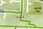 |
 The red arrow points to a narrow gap in the fence which gives pedestrian access to the Fanno Creek Trail from the housing. |
|
 |
 |
 |
 |
 |
 |
 |
 |
 |
 |
 |
 |
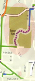 There are several trails in Lesser Park. |
 The path from Lesser Rd is paved (possibly on private property). |
 |
 |