
SWTrails Group
a committee of Southwest Neighborhoods Inc
Portland, Oregon

 (257kB)
(789kB)
|
 |
 |
Get copies from:
the SWNI office in Multnomah Art Center
The old map was available from
these places:
5151 NW Cornell Rd OHSU
...and other distribution points as they acquire maps. Mail orders accepted with
$1 shipping & handling fee:
|
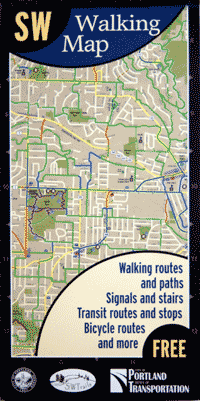
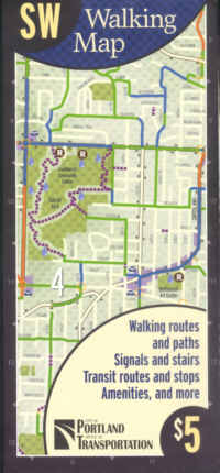
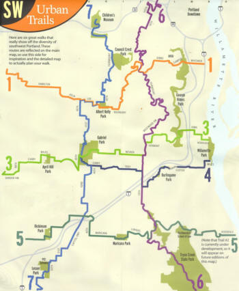
There is a new SW
bike map to go on the back.
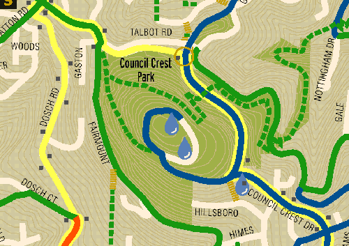
It's a topographic
map!
and
shows Portland's Heritage Trees
 |
The
original map may still be found here and there.
It
is waterproof (the new one isn't).
|
 |
|
|
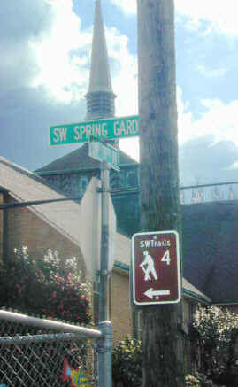
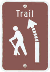
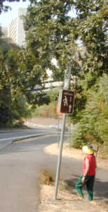
Certain dead-end streets have trails at their ends (or somewhere before the end) that give pedestrians a route unavailable for vehicular traffic. These routes usually offer safer routes than the busy streets the pedestrian gets to bypass by taking them A simple sign might be installed that calls attention to these safety routes. Such as... |
 |
.
 |
|
June 30, 2004
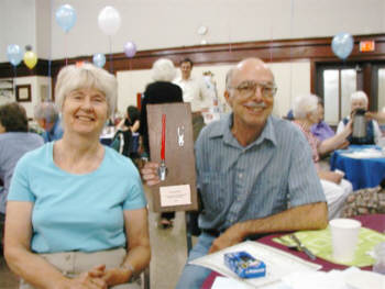
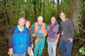
Phil Hamilton is awarded
2004 SWTrails Volunteer Award
for his leadership, hard
work and dedication to SWTrails.