|
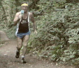
Walking(running
too) Routes
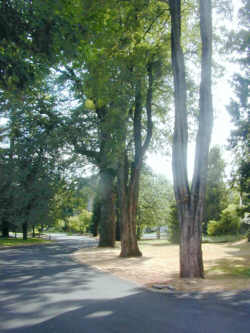
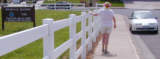
Portland is one
of the best walking and running cities in the country, especially for the
walker or runner who learns how to enjoy the rain.
-
Beautiful hills--which
are great exercise once we get used to their uphill aspect.
-
Magnificent trees
and forests--good to duck under when it rains especially hard.
-
Fine trails--many
of which are great for bicycling, too.
-
A population that
has a lot of avid walkers, runners and bicyclists--we needn't be alone
on the trails if we don't want to be.
-
We can
find solitude, too. But those places we will have to find for ourselves,
because if they are widely publicized... Well...?)
Here are some suggestions for places
to walk or run.
concentrating
on the West Side, for now.
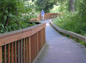
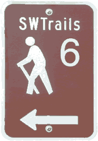
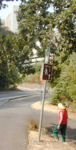
The trails
of the
SW
Urban Trails Plan
The SW
Walking Map (Portland Office of Transportation and
SWTrails) shows the routes and give a lot of useful information for pedestrians
and bicyclists. Note that a new, 2005, version of this map has
just been completed. (Aug 05)
See also the maps
of SW Portland (and Forest Park) on this Website. These maps concentrate
on accuracy and completeness. |
|
| Interesting routes to consider:
Albert
Kelly Park Loop
Marquam
Gulch
Sunnyside - Goldy Corridor
Marquam Hill trails
Marquam Gulch - Trail #6
J
Walks (five routes about the Mittleman Jewish Community Center,
6651 SW Capitol Highway (Vermont St) at SW 25th Ave.
Columbia
Gorge Trails (Those which go to the top on the Oregon side.) |
 |
| Several locations
of popular walks.
The following maps show starting
points for many walks that many people have enjoyed.
A few of them lead to route
descriptions like those above. More of these descriptions will be
added.
Lake
Oswego area
SW
Portland
Northwest
(including Forest Park) -- awaiting an appropriate index map |
|
|
|
Walking
on the Wild Side
from Jim Thayer
Pres, SWHRL
former Pres. Friends of
Forest Park
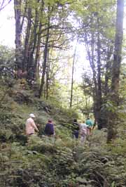
Many routes in Forest Park and Marquam
Gulch area. Much more...flora, fauna, colorful history,
interesting facts, etc. |
|
A few links to other Web
sites with a similar purpose:
about.com
(General information web site...has walks in Portland)
Lewis
and Clark Memorial Discovery Bluff Trail (Inchoate web site) |
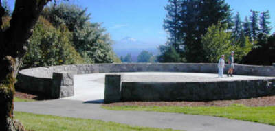
Council Crest
for spectacular views of
Portland
walk (or run) up to this
beautiful gem of the Portland Parks system.
What mountains can you see from Council Crest?
Look and see!
(142 kBytes)
And take a look at the
Natural
Resources
of Portland Parks
When is it dark; when
is it light?
SUN
TIME CHART
"Back" to return
When is it cold; when
is it hot?
TEMPERATURE
RECORDS
"Back" to return
Assisted walking...for
those who need something to steady themselves as they walk. |